EDIA provides free geographic data
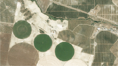
With the purpose of participate in promoting economic and social development of Alqueva region, EDIA makes available, free of charge, its geographic data, including orthophotomaps and altimetry data.
This information is extremely useful at various levels, for example, for farm projects management, in the implementation of irrigation projects, in its planning, in land evaluations, among other applications.
This data is released under an open license and can be used to any purpose and freely redistributed.
Alqueva data can be downloaded HERE